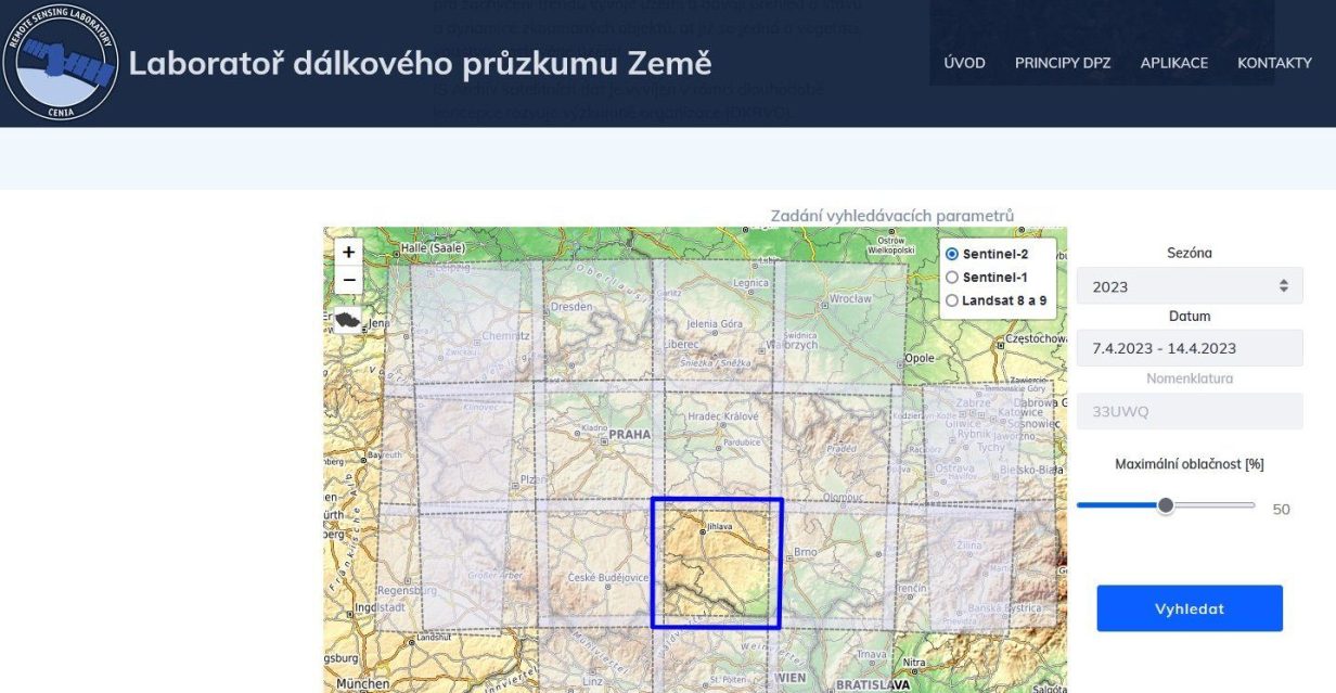
With the start of the growing season, the daily download and processing of satellite images for the Czech Republic has been restarted and is available in the Satellite Data Archive https://dpz.cenia.cz/archiv.
Both the source data and various derived products are available, which will be used in many areas including monitoring of the environment and landscape changes, agriculture, forestry, etc. More information can be found on the Archive’s website.

